Insider Brief
- Rutgers University researchers have developed an AI tool to predict whale movements along the Atlantic coast, aiming to reduce deadly ship collisions and aid marine conservation.
- The model merged glider and satellite data to create a “probability map” for locations of the endangered North Atlantic right whale.
- The tool was initially created to support offshore wind farm development but has broader applications in fishing, shipping, and the “blue economy.”
Researchers at Rutgers University-New Brunswick have turned to artificial intelligence to predict the movement of endangered whales along the Atlantic coast to minimize collisions with ships.
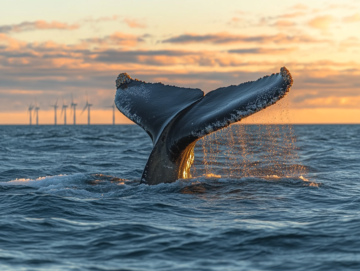
The new AI model, described in the study published in Nature Scientific Reports, uses patterns detected from large datasets to track and predict the presence of “important marine species,” including the North Atlantic right whale (Eubalaena glaciali). This species, listed as endangered since 1970, has only about 370 individuals remaining, including approximately 70 reproductively active females, according to the U.S. National Oceanic and Atmospheric Administration.
The primary goal of the project was to inform the placement and operation of offshore wind farms in ways that minimize their impact on marine life, according to Rutgers University. However, the researchers pointed out the tool has broader applications for fisheries management, commercial shipping, and other sectors of the “blue economy” that rely on ocean resources.
“This is a demonstration of the power of employing AI methodologies to advance our ability to predict or estimate where these whales are,” said Josh Kohut, marine scientist and dean of research at the Rutgers School of Environmental and Biological Sciences.
The research team, led by Kohut and Ahmed Aziz Ezzat, an assistant professor in the Department of Industrial and Systems Engineering, designed a machine-learning program to analyze two decades of underwater glider and satellite-based oceanographic data. By correlating whale sightings with ocean conditions, the model produces a “probability map” that highlights areas where whales are most likely to be found.
“These tools are valuable and would solidly benefit anyone engaged in the blue economy – including fishing, shipping and developing alternative forms of energy sustainably,” Ezzat said. “This approach can support a wise and environmentally responsible use of these waters so that we achieve our economic objectives, and at the same time make sure that we cause minimal to no harm to the environmental habitat of these creatures.”
The AI model was trained using historical data from the Rutgers University Center for Ocean Observing Leadership, which has collected detailed measurements of ocean conditions since 1992. The center’s underwater gliders, which resemble yellow torpedoes, record temperature, salinity, and acoustic signatures of marine mammals. Satellite images providing surface temperature, chlorophyll levels, and oceanic fronts were also included in the analysis.
By cross-referencing these environmental factors with whale observations, the algorithm learned to identify conditions that typically attract whales. “With this program, we’re correlating the position of a whale in the ocean with environmental conditions,” Kohut explained. “This allows us to become much more informed on decision-making about where the whales might be.”
While the system shows promise, the researchers acknowledge limitations. The current model primarily reflects conditions in the mid-Atlantic and may need to be adjusted for other regions or whale species. Furthermore, the quality of predictions depends on the availability of accurate, high-resolution environmental data.
Looking ahead, the team plans to refine the model by integrating additional datasets and testing it in different geographic areas. They also hope to collaborate with regulators and industry partners to incorporate the tool into navigation and planning systems for commercial vessels.
The findings come amid growing concerns about the future of the North Atlantic right whale. Ship strikes and fishing gear entanglements remain the primary threats to the species’ survival. Conservationists believe that predictive tools like this AI model could play a critical role in mitigating these risks.
“We’ve had the data but, until now, we’ve not been able to put the two sets – those detections of where the whales are, and what the environment is like at those places – together,” Kohut said. “This is a demonstration of the power of employing AI methodologies to advance our ability to predict or estimate where these whales are.”
The researchers emphasize the importance of continuing to monitor ocean conditions and whale populations, especially as human activities in the ocean increase. As offshore wind farms proliferate and shipping traffic grows, tools that help predict and protect marine habitats will be essential.
“While there is no evidence that offshore wind farms directly contribute to marine mammal mortalities, developing and operating offshore wind farms in a highly dynamic and vibrant ocean environment could pose a number of considerable risks to NARW habitats,” the researchers wrote in the study.
The study’s co-authors include Rutgers marine science lab manager Laura Nazzaro and computer science undergraduate Jeeva Ramasamy. The project was supported by grants from the National Oceanic and Atmospheric Administration and the University of Delaware.